
Modern surveying solutions for reliable decisions.
A Fresh Perspective on Land Surveying
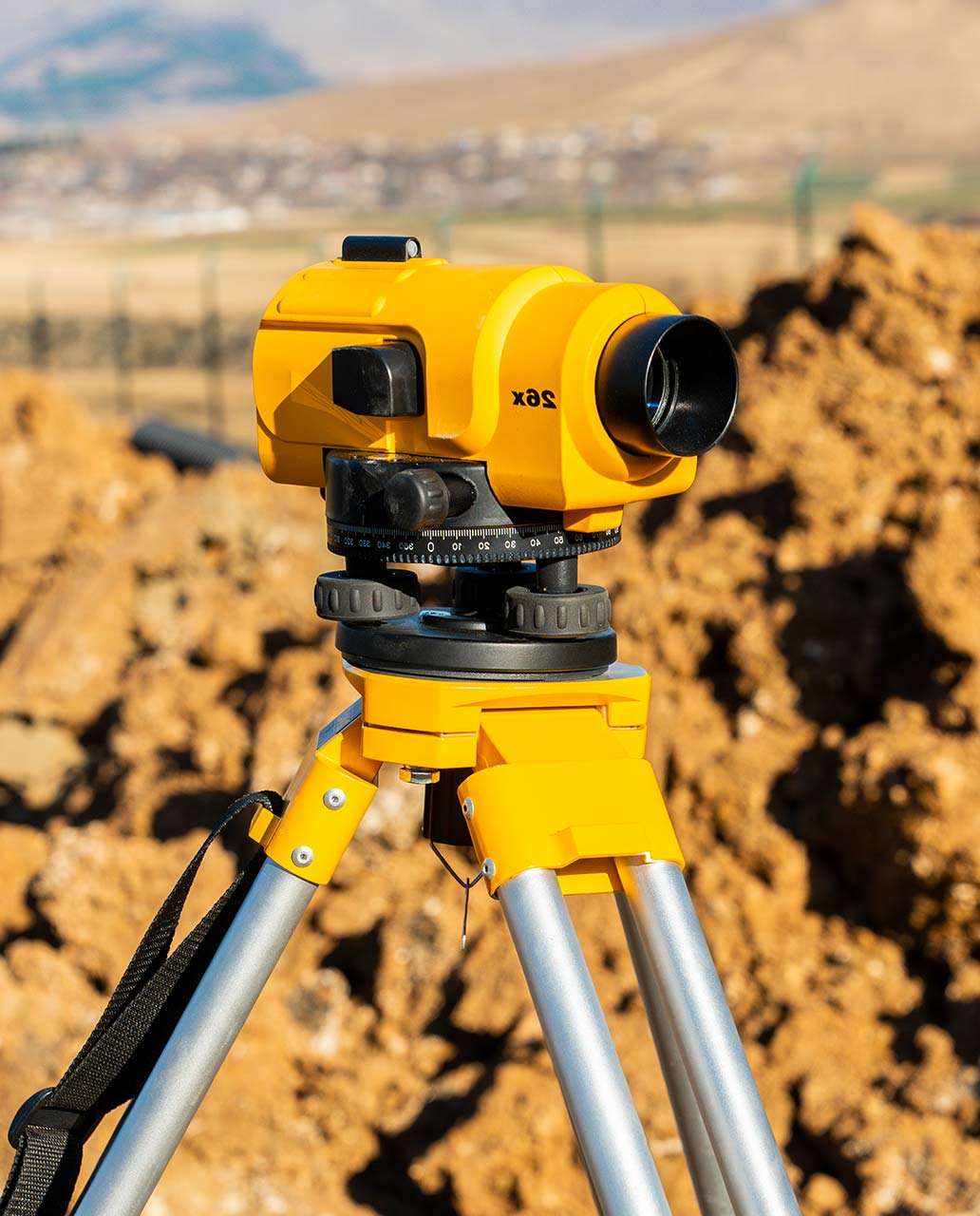
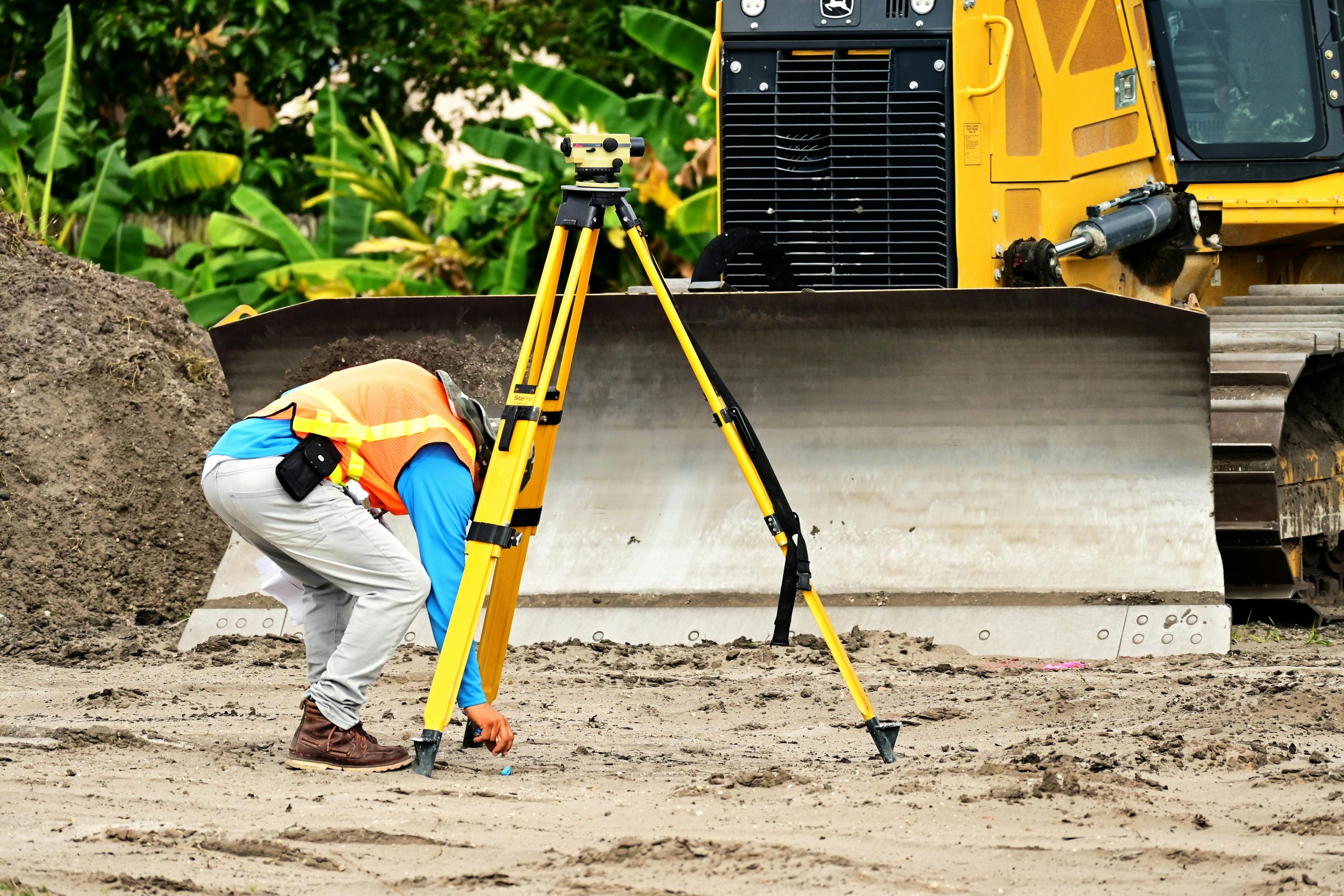
The Land Surveyor bring a fresh perspective and professional service to the land surveying field. We are committed to providing our clients with the highest quality surveying services using state-of-the-art equipment and technology.

Years of experiance


about The Land Surveyor
Trusted Experts in Land Surveying & Mapping
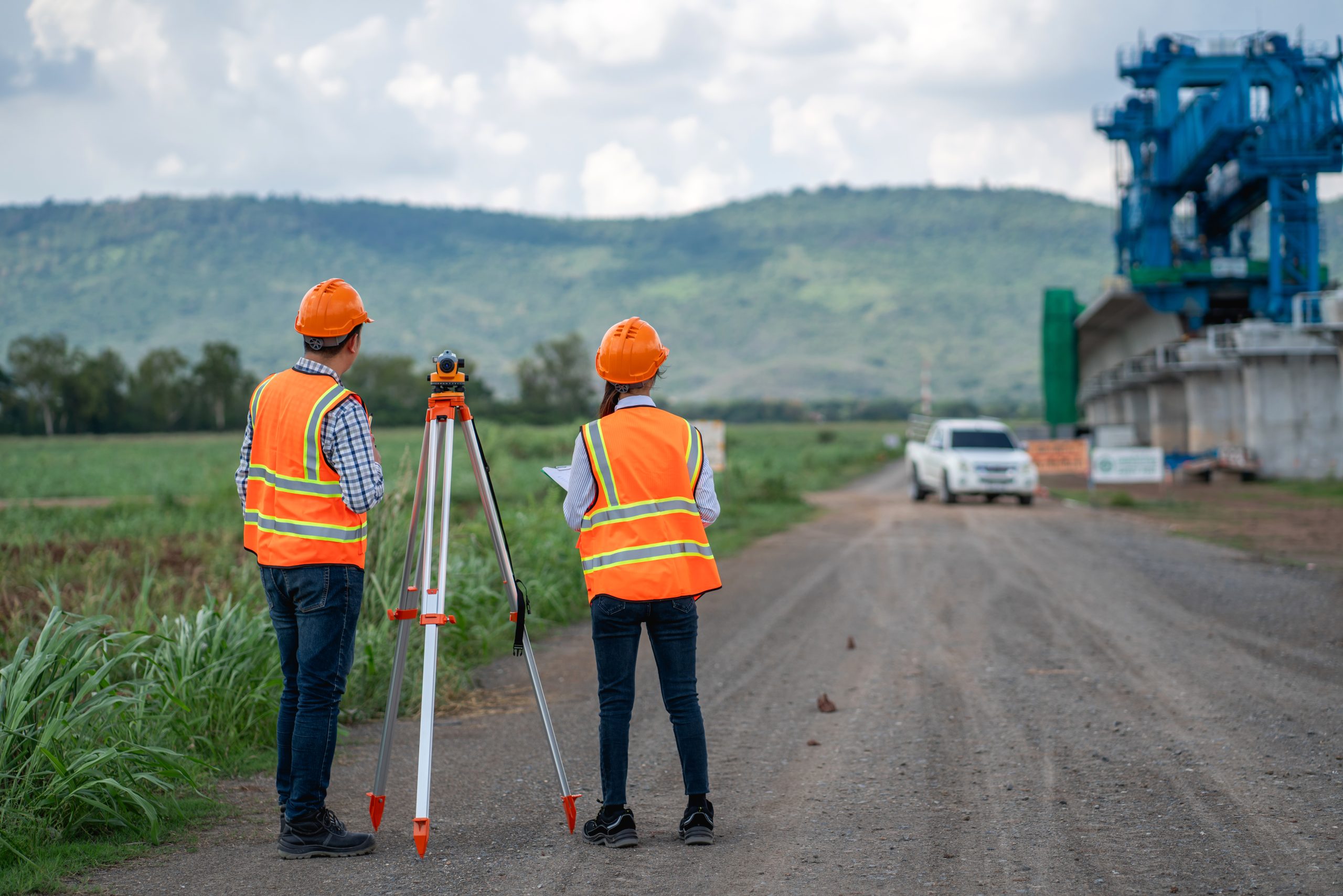
At The Land Surveyor we are dedicated to providing precise and reliable land surveying solutions. The Land Surveyor expert team leverages state-of-the-art technology to deliver accurate and timely results for a wide range of projects.
Whether you’re a homeowner, developer, or engineer, we are committed to providing exceptional service and exceeding your expectations.
- Precision & Accuracy
- Professional Expertise
- Technology-Driven
- Fast & Reliable Delivery
All the expertise you need, in one place.
Professional Surveying Services You Can Rely On
We deliver accurate, on-time surveying solutions using trusted methods and advanced technology—tailored to meet the needs of every project.
no.01
Aerial Photogrammetry
We use drones and aerial photography to create accurate 3D models of your property.
no.02
Engineering Surveys
Precise land surveying for construction projects, road design, and infrastructure development.
no.03
Cadastral Surveys
Defining property boundaries and legal limits for land registration and ownership.

why choose The Land Surveyor?
Your Reliable Partner in Land Data Solutions
Choosing the right surveyor means choosing accuracy, reliability, and professional insight. We combine years of field experience with modern technology to deliver results you can trust—every time.
The Land Surveyor team of professionals works closely with a network of experts, This collaborative approach ensures that we can provide comprehensive solutions for all your land surveying needs.
- Town Planners
- Civil Engineers
- Electrical Engineers
- Legal Experts and Conveyancers
- Geotechnical Engineers
- Project Managers
- Environmental Practitioners
Let’s Get Your Land Project Started Right
Accurate data is the foundation of every successful project. Partner with a team you can trust for precise, efficient, and expert land surveying services.
Let's Get in touch
Frequently Asked Questions
Got Questions? We’ve Got Answers
What types of land surveying services do you offer?
We provide a wide range of services including boundary and property surveys, topographic mapping, construction staking, land subdivision, as-built surveys, and GNSS/GPS-based data collection. Our services are tailored to meet the needs of developers, engineers, architects, and property owners.
How long does a land survey usually take?
The time required depends on the size and complexity of the property. A simple residential boundary survey can take 1–3 days, while larger or more technical surveys may take a week or more. We always strive to deliver accurate results within a reasonable timeframe.
Why is a land survey important before starting a construction project?
A land survey ensures that property boundaries are clearly defined and helps prevent legal disputes or costly construction errors. It provides accurate data for site planning, design, and regulatory compliance, ensuring your project begins on solid ground.
What equipment and technology do you use?
We use modern GNSS (Global Navigation Satellite System) receivers, total stations, drones for aerial mapping, and advanced CAD/GIS software to deliver precise and reliable surveying results. Our team stays up to date with the latest surveying innovations.
Do I need a survey if my land was surveyed in the past?
Yes, especially if the previous survey is outdated or if there have been changes to the property (e.g., new construction, land division). Local authorities or lenders may also require an updated survey for permitting, development, or legal purposes.
Blogs & Articles
Latest Articles on Surveying and Mapping
Expert Land Surveyor Services in Pretoria
Why Choose Expert Land Surveyor Services in Pretoria? In the dynamic and ever-evolving urban landscape of Pretoria, precision and professionalism are paramount, especially when it...

Buying a home in South Africa
Your Step-by-Step Guide to Buying a Home in South Africa Buying a home in South Africa is a major life milestone, but the journey from...

Property Ownership Transfer
The Unseen Foundation of Seamless Property Ownership Transfer in South Africa The moment the Offer to Purchase is signed and the mortgage bond is granted,...